| Gunung Mekongga | |
|---|---|
 Panorama from the summit of Mekongga | |
| Highest point | |
| Elevation | 2,650 m (8,690 ft) |
| Prominence | 2,221 m (7,287 ft) |
| Listing | Ultra Ribu |
| Geography | |
  Gunung Mekongga Location within Sulawesi | |
| Location | Sulawesi, Indonesia |
| Climbing | |
| Easiest route | Long hike |
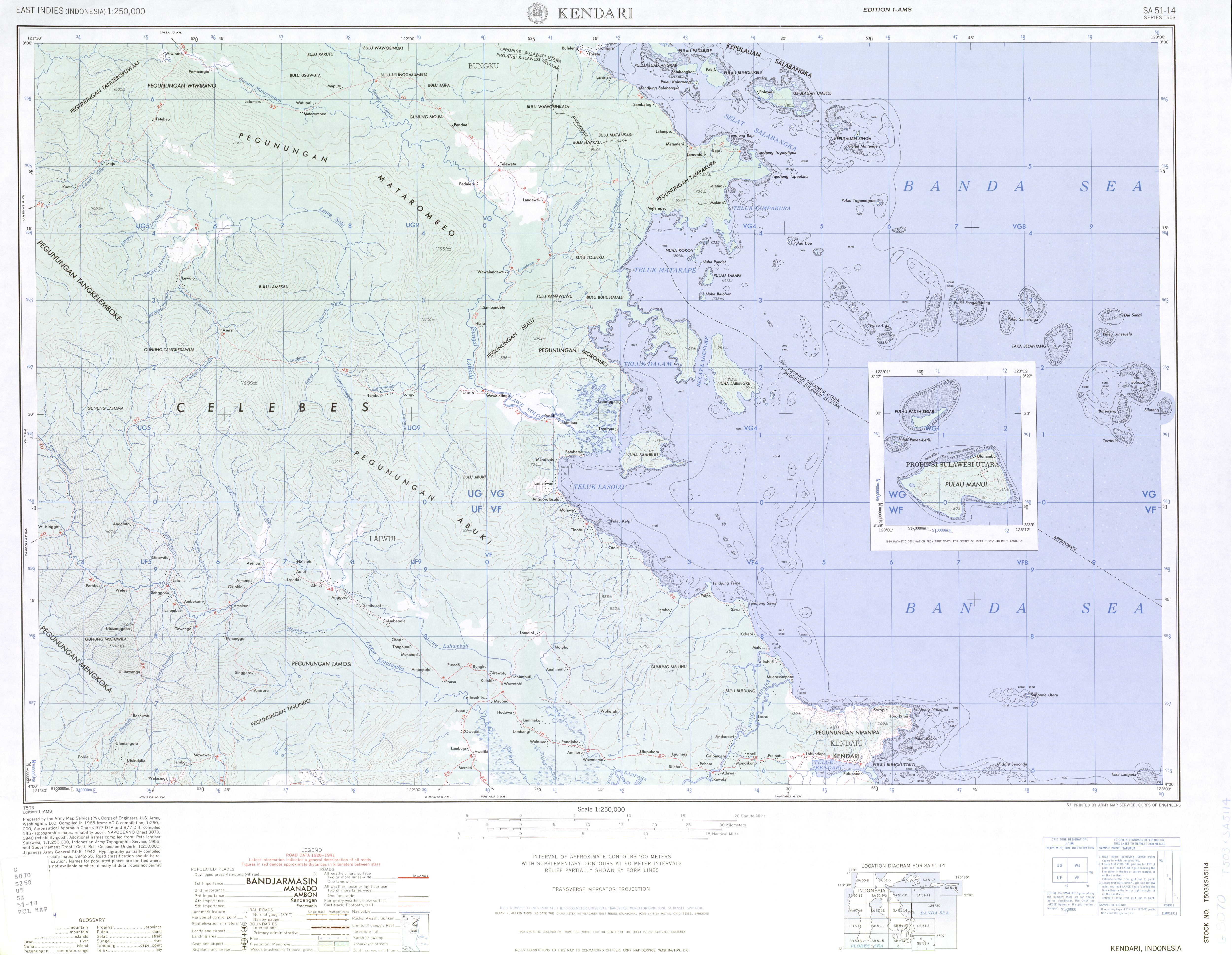
The Mekongga Mountains (Pegunungan Mekongga, Bingkoka Mountains) are a range of mountains on the island of Sulawesi (Celebes), in Indonesia. Running north-west–southeast, on the western side of the southeast peninsula of the island, they are parallel to and west of the Tanggeasinua Range and lie in the province of Southeast Sulawesi. The mountain, Gunung Mekongga, is the highest point at 2,650 metres (8,694 ft).