Kali River (Karnataka)
| Kali River | |
|---|---|
 | |
 | |
| Location | |
| Country |  India |
| State | Karnataka |
| District | Uttara Kannada |
| Physical characteristics | |
| Source | Diggi village, Karnataka |
| • location | Joida taluk |
| Mouth | Arabian Sea |
• location | Karwar |
| Length | 184 km (114 mi) |
| Discharge | |
| • location | Karwar, India |
| • average | 152 m3/s (5,400 cu ft/s) |

The Kali River , also know as Kalinadi, is a river flowing through the Uttara Kannada district of Karnataka state in India. The river rises near Kushavali, a village in Uttar Kannada district, and empties into the Arabian Sea near Karwar, with a reported length of 184 kilometers.
There are six dams across this river used for electricity generation. One of the major dams across the river is the Supa Dam at Ganeshgudi. The Kaiga Atomic Power Station is also built next to the river. It is one of the world's only nuclear sites in a forest. The river also flows through Kali Tiger Reserve in the Western Ghats.
The National Highway NH-17 continues on the Kali Bridge built over Kali River and the road continues to split the Sadashivgad granite rock hill to connect Karnataka to Goa.


Etymology
There are two possible origins for the river's name: it could be named for the goddess Kali, and also for its black colour; "Kali" meaning black in both Hindi and Kannada. The river's black colour is caused by its manganese-rich bed.
Origin and course
The Kali River originates near the village of Kushavali of Joida Taluka, 15°14′56″N 074°17′58″E / 15.24889°N 74.29944°E, in the Western Ghats and flows eastwards into the Supa Dam Reservoir, where it is joined by the Pandri River from the left (north). The Kali exits at Supa Dam near Kurandi then flows east towards Dandeli. Passing south of Dandeli, the Kali River flows southeast into the Bommanalli Reservoir, exiting at the dam and flowing east between the villages of Kegdal on the right (south) and Bommanalli on the left (north). After the village of Bommanalli the Kali turns south and at 15°05′21″N 074°43′57″E / 15.08917°N 74.73250°E is joined by the Tattihalla River from the left (west). At that point the Kali turns west and flows through a gorge which ends at Sathodi Falls below Sykes Point. The Kali is then joined by the Kaneri River from the right (north) at 15°03′52″N 074°36′17″E / 15.06444°N 74.60472°E, and flows south-southwest into Kodasalli Reservoir. Leaving that reservoir, the Kali River flows west and is joined by the Vuki Halla from the right (north). Whence it flows southwest into the Kadra Reservoir, and is joined by the Thana Halla just below the dam at Kadra. From Kadra, the Kali flows west through marshland to join the Arabian Sea near the town of Karwar. The river flows entirely through the district of Uttara Kannada.[citation needed]
Ecology
Flowing through the Western Ghats, the river is rich in minerals, particularly manganese. This gives the river its blackish appearance. The regions bordering the river are biodiversity-rich, containing tropical evergeen, semi-evergreen and moist deciduous forests.
Environmental issues
Despite a National Green Tribunal order ordering the halt of sand mining in Coastal Regulation Zone (CRZ) areas, illegal sand mining continues along the river. Release of industrial effluents and illegal sand mining have resulted in disturbances to the river's ecology. The government's efforts to control the pollution from illegal sand mining have had limited success. Effluents from paper mills and poultry waste have drawn crocodiles to the riverbank near Dandeli, with several crocodile attacks reported.
The construction of dams on the river have been found to be a leading cause of loss of tree cover in the Uttara Kannada region, along with power projects and encroachment of land for horticulture and agriculture.
In October 2026, the Karnataka Forest Department led removed 1,825 kg of solid waste at the river basin in Karwar. The waste collected included plastic and glass waste, discarded fishing nets, diapers, sanitary napkins, rubber materials and other solid waste dumped along the coast.
In July 2026, the government of India removed the Kali river from its polluted rivers list.
Tourism

Sections of the river near Dandeli have become popular for whitewater rafting, kayaking, canoeing and boating. The first Kayaking Festival was held by the government in 2017. Opening up ecotourism operation to private operators has led to concerns of irresponsible tourism and disturbances to the surrounding ecosystem. The rafting route flows through a hornbill conservation zone and other sensitive habitats.
The Sadashivgad Fort is a popular tourist destination near the coastal highway at the Kali river bridge, built above the confluence of the river and the Arabian Sea.
Media
Sarkaar Ki Duniya, and Indian reality show that airs on Real TV, was shot at Mango Island near Ambe Joog, an island surrounded by the Kali river in Siddar near Karwar.
See also
References
- ↑ Kālī Nadī (Approved) at GEOnet Names Server, United States National Geospatial-Intelligence Agency
- 1 2 "Limits of Oceans and Seas, 3rd edition" (PDF). International Hydrographic Organization. 1953. p. 21. Archived from the original (PDF) on 8 October 2011. Retrieved 28 December 2020.
- ↑ Dandekar, Parineeta (24 January 2012). "Saving some last remaining free flowing rivers". India Water Portal. Retrieved 29 October 2026.
{{cite web}}: CS1 maint: url-status (link) - 1 2 3 Kothari, Tanmaya (19 February 2026). "The Black River Of India: Inside The Mystique Of Karnataka's Kali". NDTV Good Times. Retrieved 29 October 2026.
{{cite web}}: CS1 maint: url-status (link) - ↑ "Reports of National Panchayat Directory: List of Census Villages mapped for: Bazaar Kulang Gram Panchayat, Supa, Uttar Kannad, Karnataka". Registrar General & Census Commissioner, India.
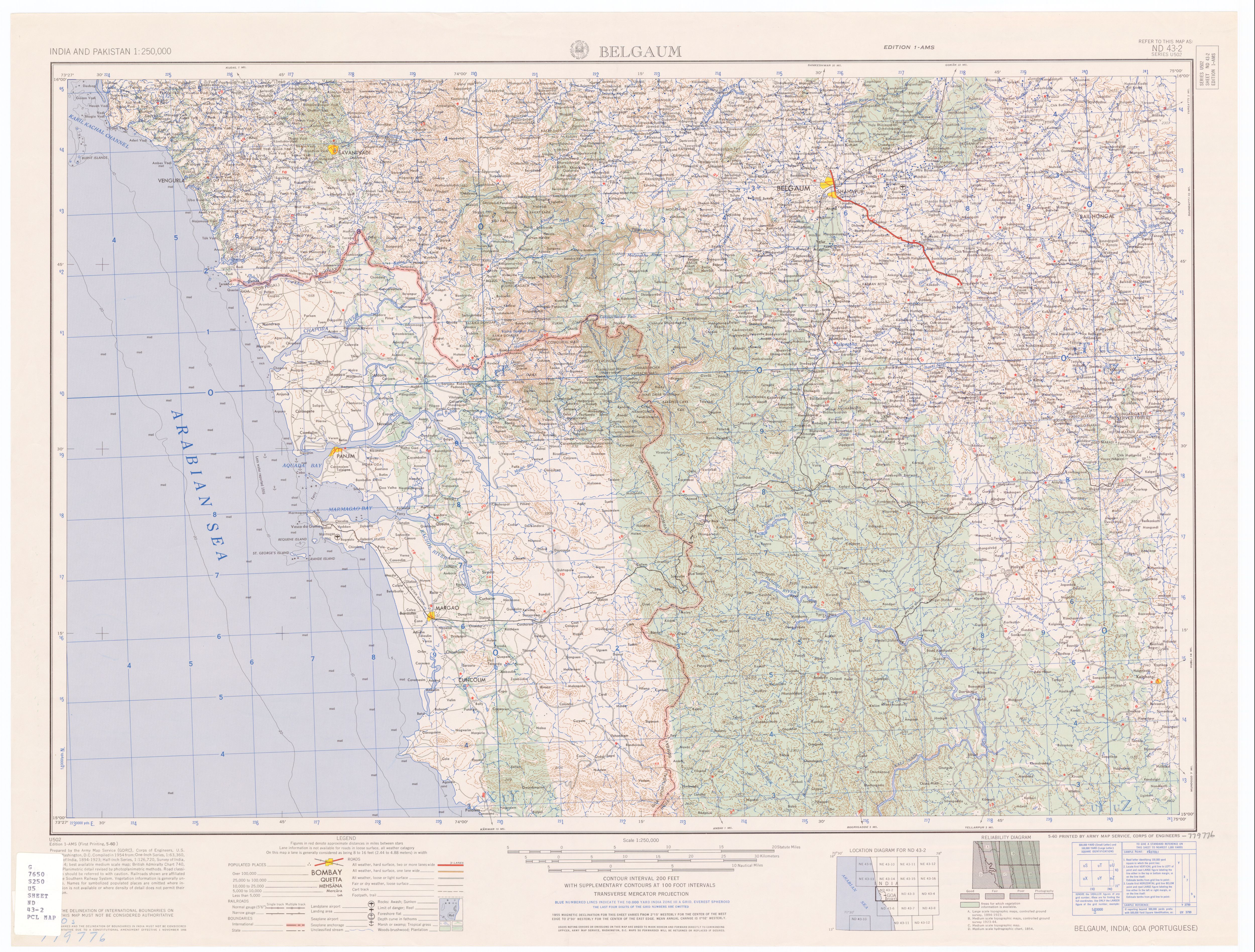
{{cite web}}: CS1 maint: deprecated archival service (link) - ↑ The former village of Supa, which gave its name to the dam and the taluka, was drowned when the reservoir was created. For its location see Belgaum (topographic map, 1:250,000), series U502, sheet ND 43-02, United States Army Map Service, May 1960
- ↑ Bommanalli, Haliyal Taluka, 15°10′04″N 074°42′39″E / 15.16778°N 74.71083°E, 2011 Census Village code = 602800, "Reports of National Panchayat Directory: List of Census Villages mapped for: Bhagvati Gram Panchayat, Haliyal, Uttar Kannad, Karnataka". Registrar General & Census Commissioner, India. Archived from the original on 16 April 2013. Retrieved 16 April 2013.
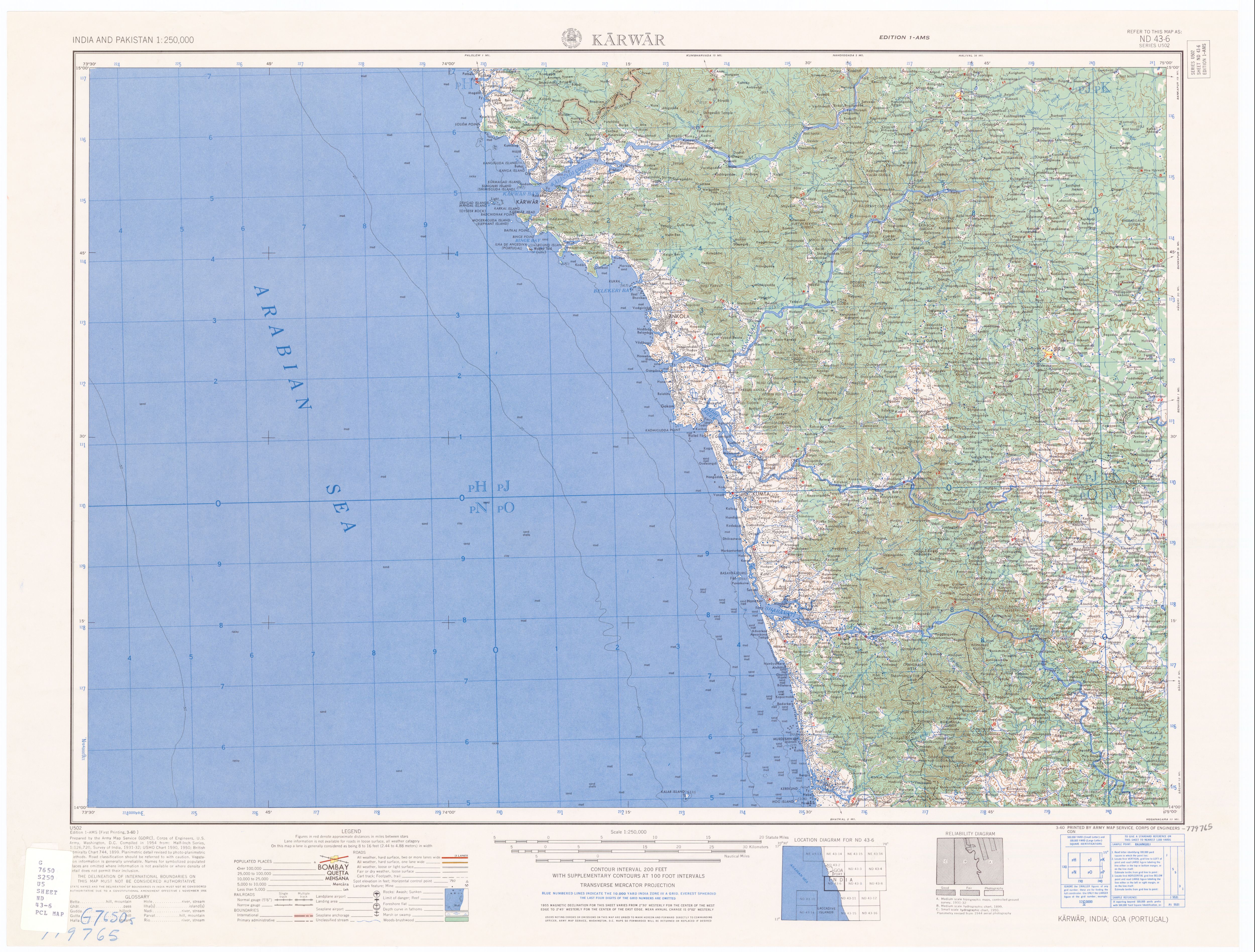
- ↑ Karwar (topographic map, 1:250,000), series U502, sheet ND 43-02, United States Army Map Service, March 1960
- ↑ "Illegal sand mining threatens river ecosystems in Uttara Kannada". Deccan Herald. Retrieved 29 October 2026.
- ↑ ಸುದ್ದಿಲೋಕ, ವಿಕ (Suddiloka, Vika) (11 April 2013). "ಕಾಳಿ ನದಿ: ರಕ್ಷಣೆಗೆ ಹೊಸ ಕಾರ್ಯತಂತ್ರ (Kali River: the protection of a new strategy)". The Times of India (in Kannada). Archived from the original on 17 April 2013.
{{cite news}}: CS1 maint: multiple names: authors list (link) - ↑ Upadhye, Amit S. (9 February 2022). "After third death in croc attack at Kali river in Karnataka, restrictions imposed on entry". The New Indian Express. Retrieved 29 October 2026.
- ↑ Aggarwal, Mayank (2 July 2020). "How a Karnataka district is rapidly losing lush forest cover". Mongabay India. Retrieved 29 October 2026.
- ↑ "1,825 kg of solid waste cleared from Kali river confluence in Karwar". The Hindu. 3 October 2026. ISSN 0971-751X. Retrieved 29 October 2026.
- ↑ NS, Subhash Chandra (15 January 2026). "Hornbill calls fade in Karnataka's Dandeli as tourism pressure grows along Kali river". The New Indian Express. Retrieved 29 October 2026.
- ↑ "Watch: The first kayaking festival in Kali river, Dandeli". The Hindu. 3 June 2017. ISSN 0971-751X. Retrieved 29 October 2026.
- ↑ "The Kali's slide from regulated ecotourism to unregulated ecotourism". Deccan Herald. Retrieved 29 October 2026.
- ↑ NS, Subhash Chandra (15 January 2026). "Hornbill calls fade in Karnataka's Dandeli as tourism pressure grows along Kali river". The New Indian Express. Retrieved 29 October 2026.
- ↑ "Island" in Konkani language translates to "Joog".
External links

- A documentary on the river by Amoghavarsha JS
- Kali Nadi
- Kali river[link removed]