History
Mamluk Sultanate
An early defter entry noted that Kafr Qara had been incorporated into the "Diwan of the Circassian sultanate" after it had been seized by ‘the Shaykhs of the mountain of Nablus’.
Ottoman Empire
Kafr Qara' was originally located on a rocky outcrop near Kafr Thilith in the West Bank (see: Uyun Kafr Qari'). It was incorporated into the Ottoman Empire in 1517 with the rest of Palestine, and in the defter no. 610, which was written soon after 1540, the revenue of Kafr Qara was designated to an endowment in Jerusalem; the Madrasah Al-Uthmaniyya. The whole of the revenue of Kafr Qara, a total of 3,400 aspers annually, belonged to this endowment.
In 1859 the population, having moved to the current location in Wadi 'Arab, was 450 people, who cultivated 32 feddans of land.
In 1883, the PEF's Survey of Western Palestine (SWP) described Kefr Kara as a "good-sized stone village on high ground, with a well to the east, and caves."
A population list from about 1887 showed that Kiryat Kefr Kara had about 705 inhabitants, all Muslim.
British Mandate
In the 1922 census of Palestine conducted by the British Mandate authorities, Kufr Qara had a population 776; 767 Muslims and 9 Christians, where the Christians were 7 Roman Catholics and 2 Maronites. The population had increased by the 1931 census to 1,109; 4 Christians and 1,105 Muslims, in 198 houses.
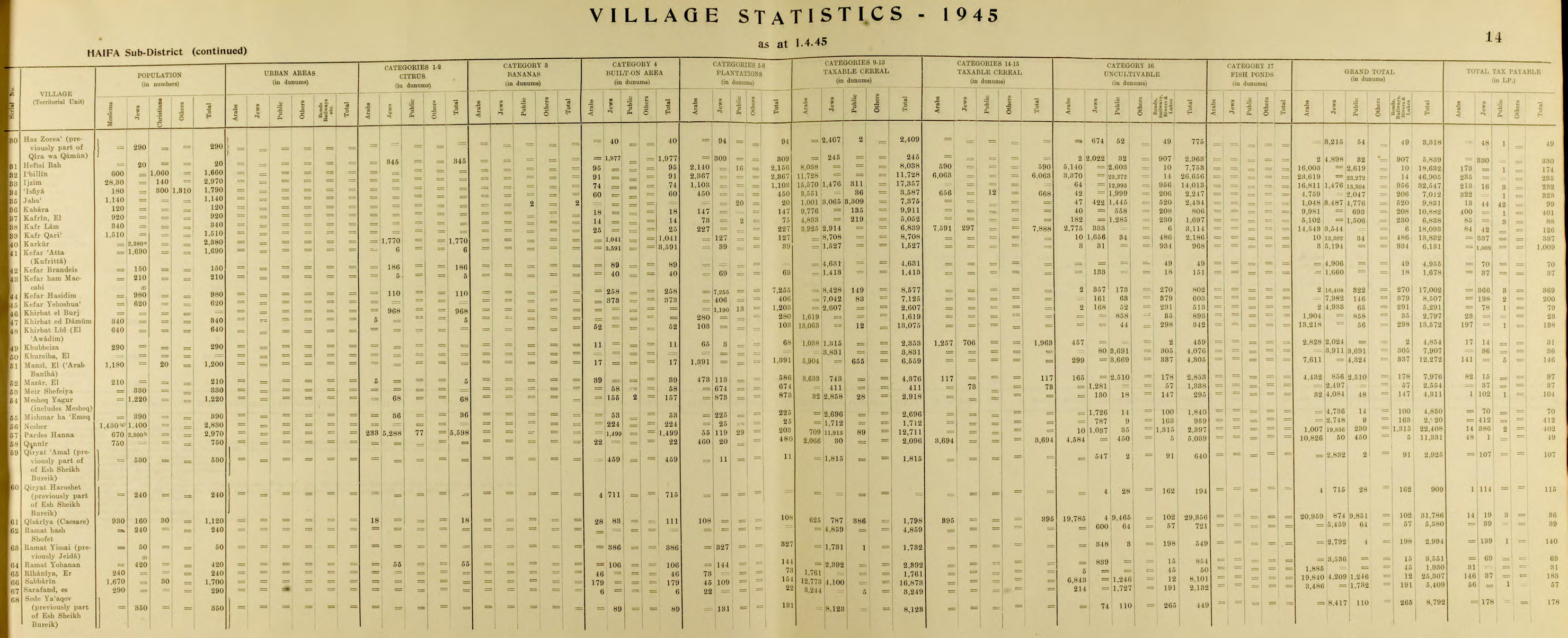
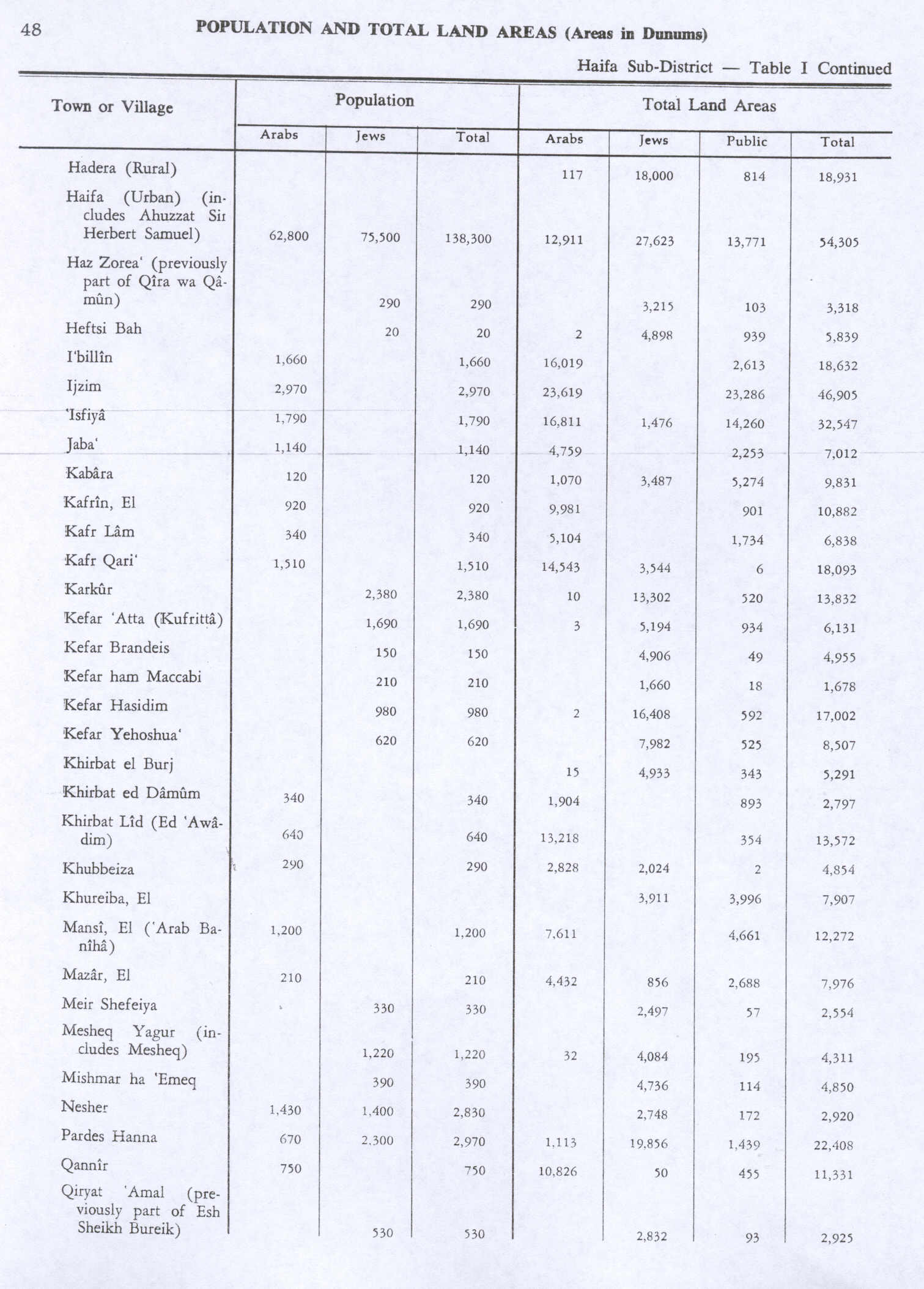
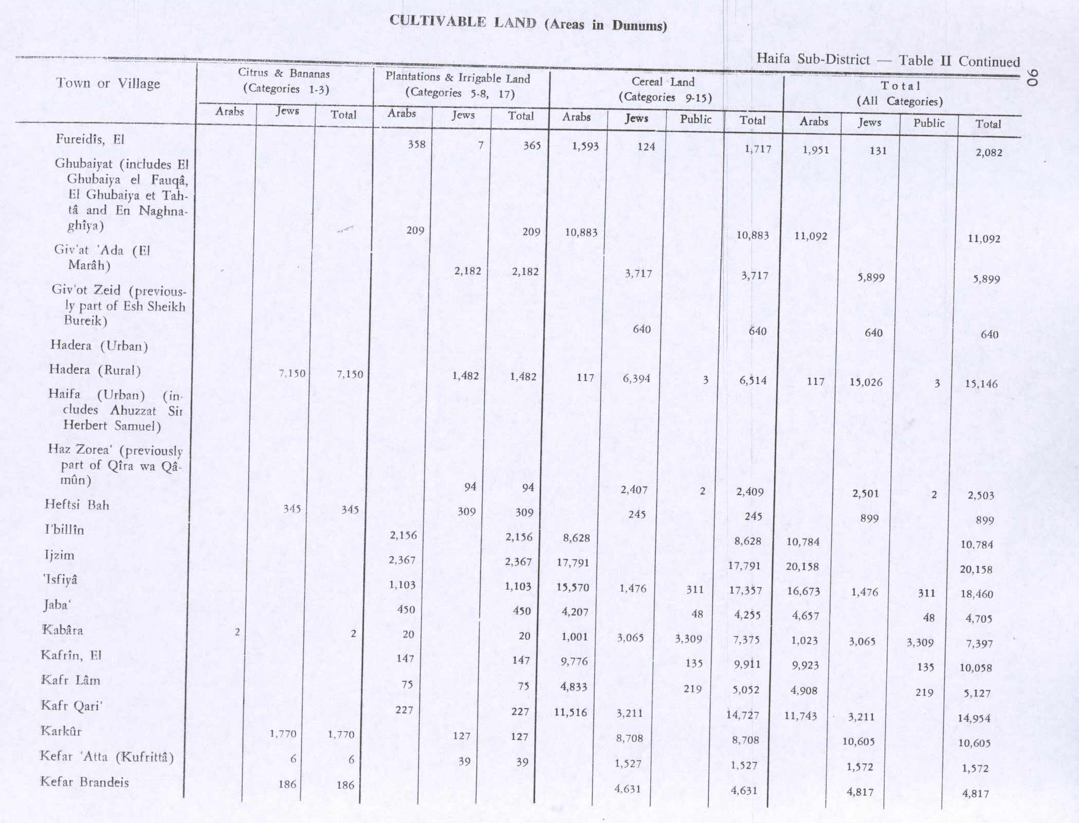
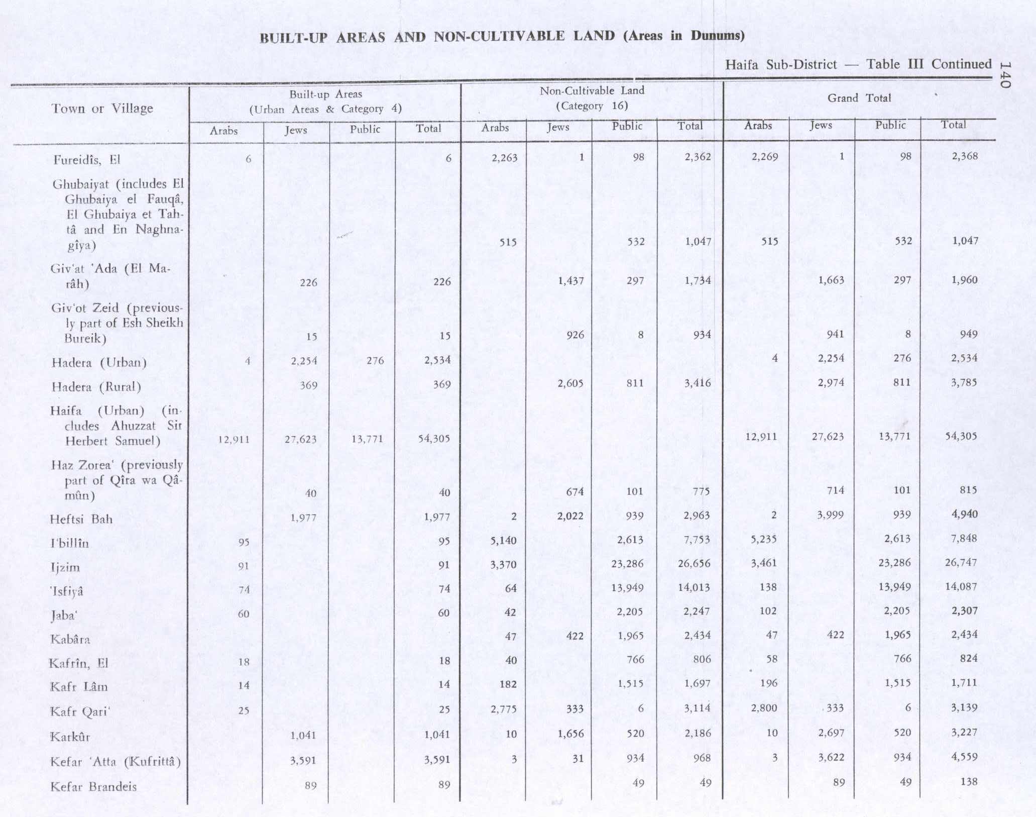
In the 1945 statistics, Kafr Qara had a population of 1,510 Muslims, who owned 14,543 dunams of land. Of this, 227 dunams were for plantations and irrigable land, 11,516 for cereals, while 25 dunams were built-up (urban) land.
Kafr Qara 1942 1:20,000
Kafr Qara 1945 1:250,000
Israel
In 2007, Qara held the record for doctors relative to population size, with around 14.8 doctors per 1,000 citizens.
Education
In September 2003, a group of local parents founded a bilingual, multicultural elementary school in Kafr Qara, named Hand in Hand – Bridge over the Wadi, or "Bridge over the Wadi". Kafr Qara high school, established in 1970 as a vocational school, is now a comprehensive high school for 10th–12th graders from Kafr Qara and environs. The school has participated in multicultural projects such as Jitli, and offers a joint leadership program for Arab and Jewish teenagers.
Kafr Qara holds the highest record for doctors relative to population size in the country, around 14.8 doctors per 1,000 citizens (2007, with more than 50 medicine student back then), Kafr Qara known as well for recording a high rate of academics and master's degree holders.


 Israel
 Haifa