Mirabilit

Mirabilit
Мирабилит
Settlement
Maloye Shklo and Mirabilit Sentinel-2 image
Mirabilit is located in Altai Krai
Mirabilit
Mirabilit
Location within Altai Krai
Mirabilit is located in Russia
Mirabilit
Mirabilit
Location within Russia
Coordinates: 52°33′N 79°01′E / 52.550°N 79.017°E / 52.550; 79.017
CountryRussia
RegionAltai Krai
DistrictKulundinsky District
Time zoneUTC+7:00

Mirabilit (Russian: Мирабилит) is a rural locality (a settlement) and the administrative center of Mirabilitsky Selsoviet, Kulundinsky District, Altai Krai, Russia. The population was 412 as of 2013. There are 4 streets.

Geography

Mirabilit lies in the Kulunda Steppe, near lake Maloye Shklo, and 5 kilometers (3.1 mi) to the SSW of lake Bolshoye Shklo. It is located 8 km east of Kulunda (the district's administrative centre) by road. Kulunda is the nearest rural locality.

References

  1. ↑ Карта Кулундинского района Алтайского края
  2. ↑ Численность населения по муниципальным образованиям на 1 января 2011, 2012, 2013 гг. (в том числе по населённым пунктам) по данным текущего учёта
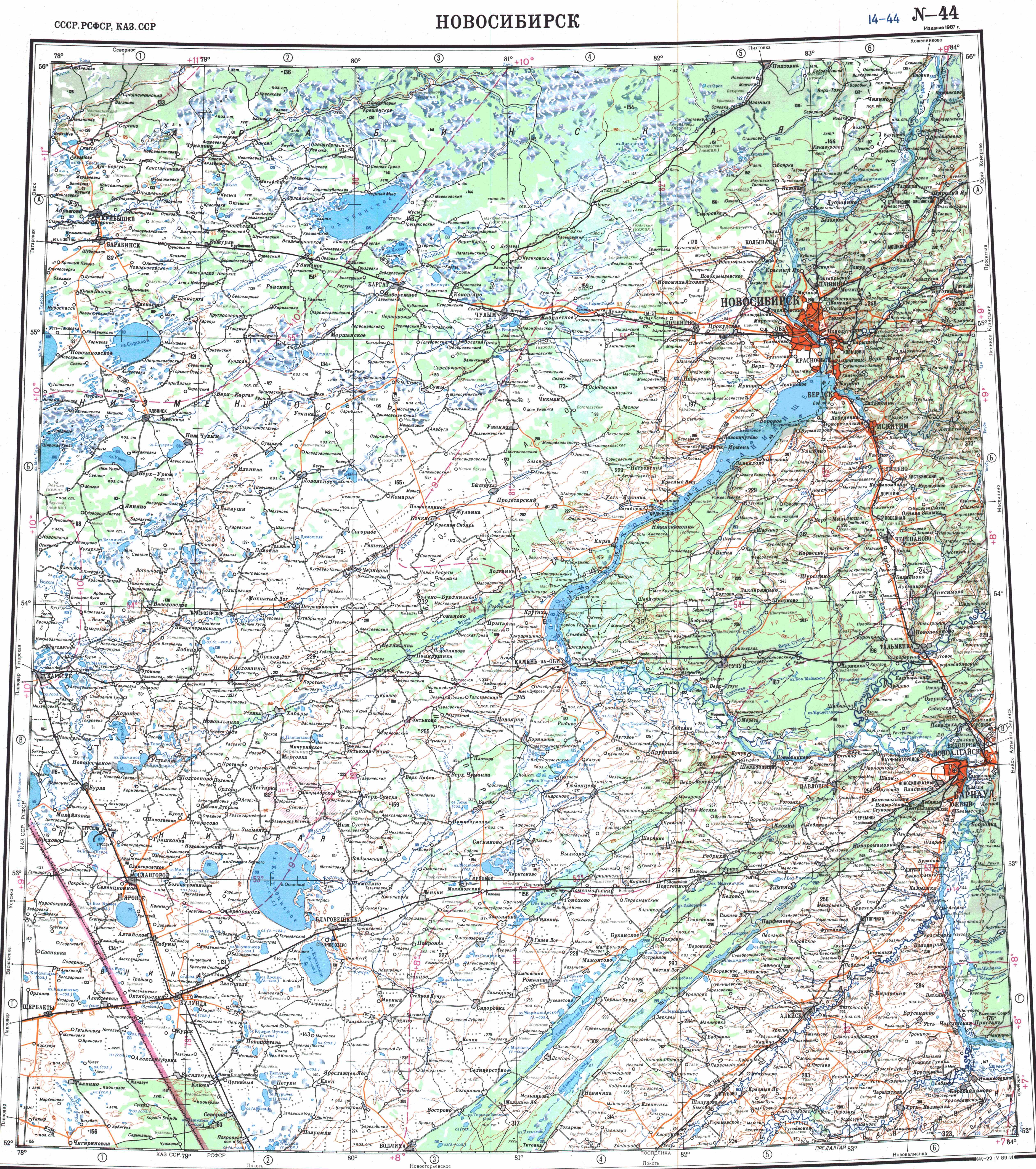
  3. ↑ "N-44 Topographic Chart (in Russian)". Retrieved 31 May 2024.
  4. ↑ Google Earth
  5. ↑ Расстояние от Мирабилита до Кулунды