Yagotino

Yagotino
Яготино
Selo
Yagotino is located in Altai Krai
Yagotino
Yagotino
Location within Altai Krai
Yagotino is located in Russia
Yagotino
Yagotino
Location within Russia
Coordinates: 52°44′N 79°37′E / 52.733°N 79.617°E / 52.733; 79.617
CountryRussia
RegionAltai Krai
DistrictBlagoveshchensky District
Time zoneUTC+7:00

Yagotino (Russian: Яготино) is a rural locality (a selo) and the administrative center of Yagotinsky Selsoviet, Blagoveshchensky District, Altai Krai, Russia. The population was 600 as of 2013. It was founded in 1909. There are 8 streets.

Geography

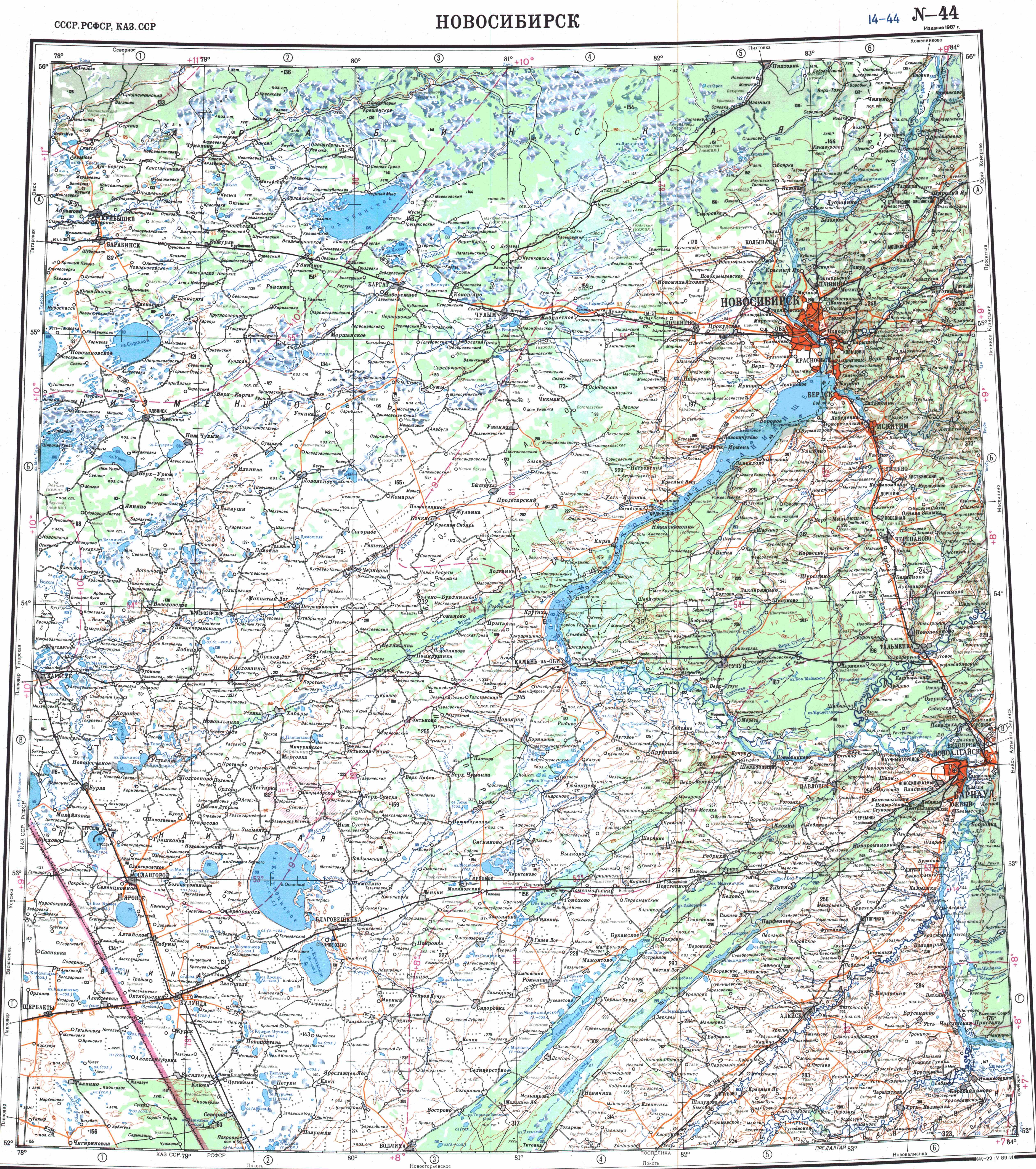
Yagotino lies in the Kulunda Steppe, 3 kilometers (1.9 mi) to the west of lake Kuchuk and 8 kilometers (5.0 mi) to the east of lake Bauzhansor. It is located 23 km southwest of Blagoveshchenka (the district's administrative centre) by road. Orlean is the nearest rural locality.

References

  1. ↑ Карта Благовещенского района Алтайского края
  2. ↑ Численность населения по муниципальным образованиям на 1 января 2011, 2012, 2013 гг. (в том числе по населённым пунктам) по данным текущего учёта
  3. ↑ "N-44 Topographic Chart (in Russian)". Retrieved 31 May 2024.
  4. ↑ Google Earth
  5. ↑ Расстояние от Яготина до Благовещенки