Kalibek
| Kalibek | |
|---|---|
| Қалыбек / Калибек | |
 2021 Sentinel-2 image of the lake in June | |
  Kalibek Location within Kazakhstan | |
| Location | Ishim Plain West Siberian Plain |
| Coordinates | 53°52′N 70°37′E / 53.867°N 70.617°E |
| Type | endorheic |
| 2,660 square kilometers (1,030 sq mi) | |
| Basin countries | Kazakhstan |
| Max. length | 17 kilometers (11 mi) |
| Max. width | 7.3 kilometers (4.5 mi) |
Surface area | 110 square kilometers (42 sq mi) |
| Max. depth | 2 meters (6 ft 7 in) |
Water volume | 0.6 cubic kilometers (0.14 cu mi) |
| Residence time | UTC+6 |
Shore length1 | 70 kilometers (43 mi) |
Surface elevation | 85.6 meters (281 ft) |
| 1 Shore length is not a well-defined measure. | |
Kalibek (Kazakh: Қалыбек; Russian: Калибек) is a bittern salt lake in Taiynsha District, North Kazakhstan Region, Kazakhstan.
Taiynsha town, the administrative center of the district, lies 45 kilometers (28 mi) to the west of the lake.
Geography
Kalibek lies in the southern part of the Ishim Plain, southwest of the Russian border. It is an endorheic lake located in a depression between Shaglyteniz to the west and Kishi-Karoy to the east. Alabota lake lies 8 kilometers (5.0 mi) to the ESE. Kalibek is fed mainly by snow and rain. The lake bottom is clayey and its shores are low and gently-sloping. Its surface greatly decreases after the spring floods.
A number of intermittent small streams flow into the lakeshore, the two main ones from the southwest. Ushsay, a small, narrow lake located in the northeast, is connected to Kalibek by a channel. Formerly there was exploitation of salt for commercial purposes at the lake.
 |
See also
References
- ↑ "қазақстан республикасының мемлекеттік жіктеуіші - КЛАССИФИКАТОР АДМИНИСТРАТИВНО – ТЕРРИТОРИАЛЬНЫХ ОБЪЕКТОВ" (PDF). Archived from the original (PDF) on 2022-01-19. Retrieved 2022-08-30.
- ↑ Площадь озер Казахстана (Таблица)
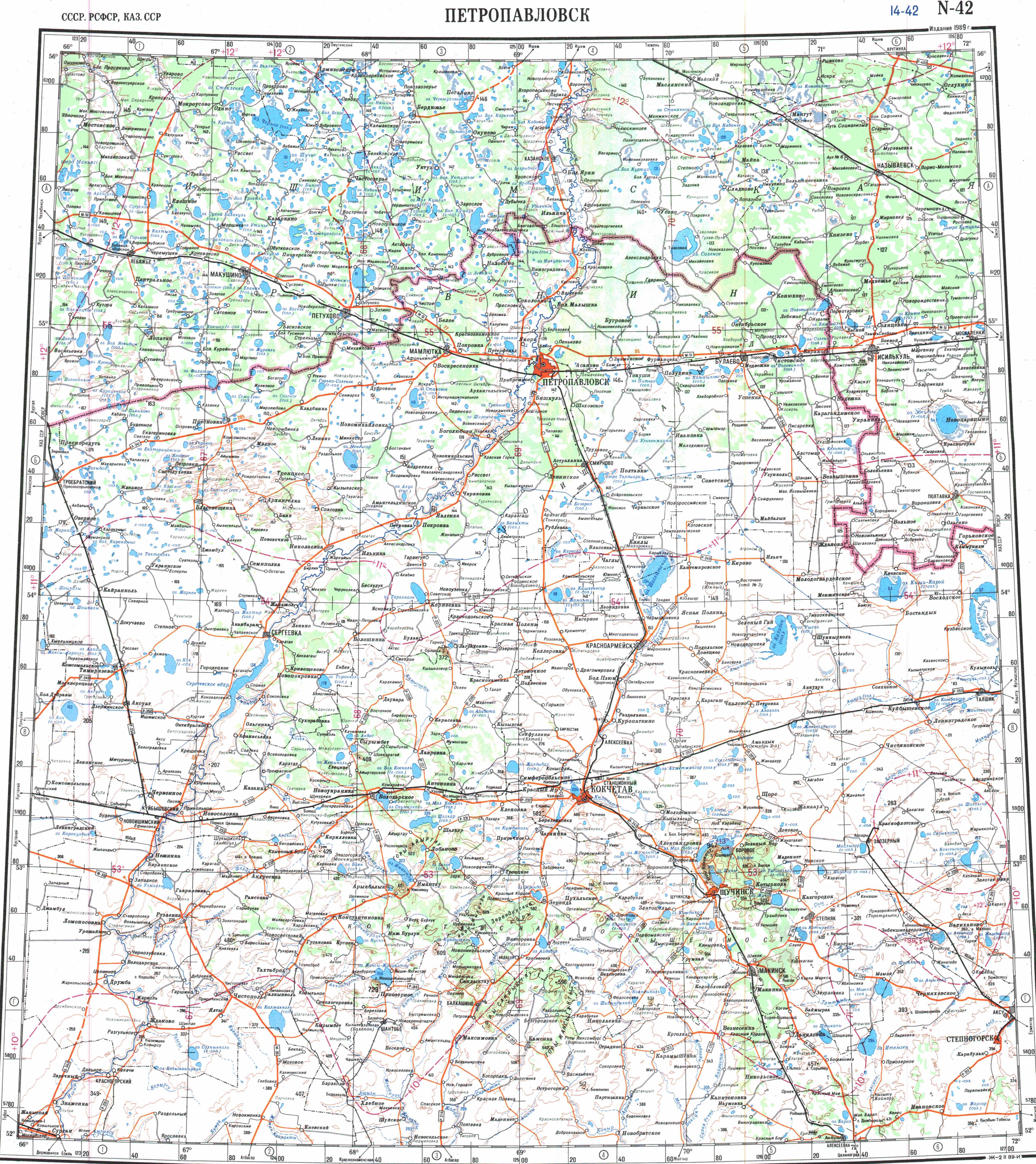
- ↑ "N-42 Topographic Chart (in Russian)". Retrieved 29 August 2022.
- 1 2 Google Earth
- ↑ "North Kazakhstan Region - Minerals and Water Resources". Archived from the original on 2022-07-20. Retrieved 2022-08-30.
- ↑ The Origin of the Depression Lake Systems
- ↑ Калибек; Great Soviet Encyclopedia in 30 vols. — Ch. ed. A.M. Prokhorov. - 3rd ed. - M. Soviet Encyclopedia, 1969-1978. (in Russian)
- ↑ Kolpakova, M. N.; Gaskova, O. L.; Naymushina, O. S.; Karpov, A. V.; Vladimirov, A. G.; Krivonogov, S. K. (2019). "Saline lakes of Northern Kazakhstan: Geochemical correlations of elements and controls on their accumulation in water and bottom sediments". Applied Geochemistry. 107: 8. Bibcode:2019ApGC..107....8K. doi:10.1016/j.apgeochem.2019.05.013.
External links
 Media related to Qalybek Lake at Wikimedia Commons
- Kalibek — Lakes - LakeNet
- GEOCHEMICAL PROCESSES CONTROLLING THE WATER CHEMISTRY OF SALINE LAKES IN THE NORTH KAZAKHSTAN REGION
- ИНТЕЛЛЕКТУАЛЬНАЯ НАЦИЯ В ФОКУСЕ ГУМАНИТАРНЫХ ТЕХНОЛОГИЙ Archived 2022-09-20 at the Wayback Machine (in Russian)